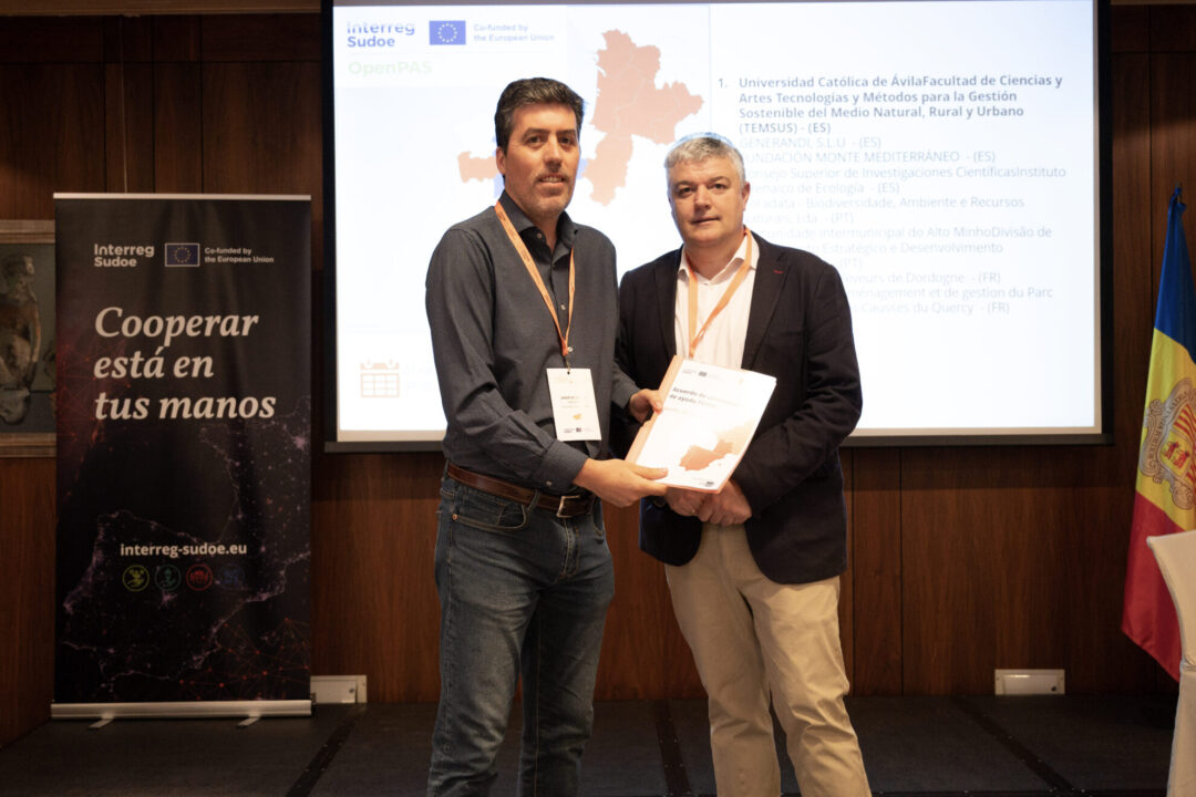
Grassland habitats of community interest play a fundamental role in shaping the landscape and maintaining biodiversity in the Sudoe area. This type of habitat is not only crucial for flora and fauna diversity, but also provides indispensable ecosystem services, acting as large carbon sinks, helping to prevent soil erosion, and contributing to water cycle regulation. Furthermore, their importance connects with key economic activities in rural environments, such as traditional grazing, extensive livestock farming, and other high-nature-value agricultural activities. Despite their legal protection and their consideration as types of Habitats of Community Interest for the purposes of the 1992 Habitats Directive, the conservation status of many of these grassland habitats is not entirely favorable, and they show degradation compared to previous periods. Among other reasons, the effects of climate change (droughts, alterations in precipitation and temperature patterns), pollution, changes in land use, and abandonment of traditional activities that shape this ecosystem, such as grazing, explain this trend. The development of smarter, more precise, and more affordable evaluation systems is a necessary step to improve the conservation status of grasslands, which will allow for preventive and comprehensive decision-making. Currently, the evaluation of the conservation status of habitats is usually carried out through field sampling, which can be invasive in highly fragile contexts, difficult to perform in remote areas, and entails a high cost. In this context, the objective of the OpenPAS project is to improve the methodology for evaluating the conservation status of grassland habitats of community interest by developing a tool based on remote sensing, image processing, and machine learning. This will allow natural space managers and other users to receive highly accurate and relevant information oriented towards decision-making.
-
Acerca de Nosotros¿Quién gestiona el programa?
-
Convocatorias
-
Noticias y eventos


